An imager data refers to a map image that could be a satellite image or scanned map with world real coordinates. The process and steps of Geo-referencing is explained in Geo-referencing a map image topic.
To add Imagery data to the Canvas follow the steps below.
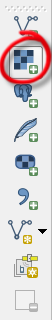
1. Click Add Raster Layer button to add the imagery data into the canvas as shown in the image below.
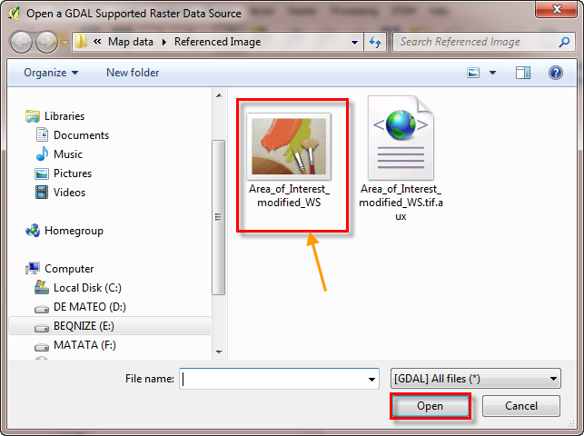
2. Browse to where the imagery data source is located.
3. Select the imagery data.
4. Click Open to add it to the canvas as illustrated in the image below.
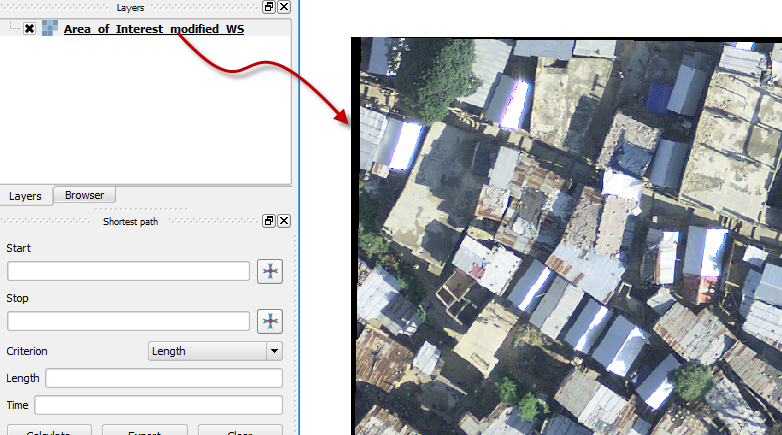
The Imagery data appears on the window as shown below.
Some of the tools that you can use to move the imagery data are;
 This is used
to Pan the map to a desired location.
This is used
to Pan the map to a desired location.
 This
helps to zoom in to a working area of interest.
This
helps to zoom in to a working area of interest.
 This
helps to zoom out on the map.
This
helps to zoom out on the map.