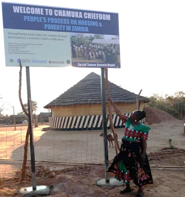
15 Aug 2018 IMPROVING TENURE SECURITY ON CUSTOMARY LANDS; Chamuka Chiefdom, Zambia
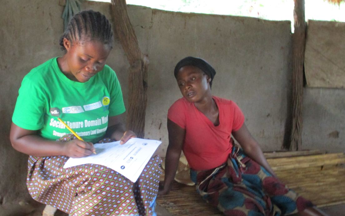
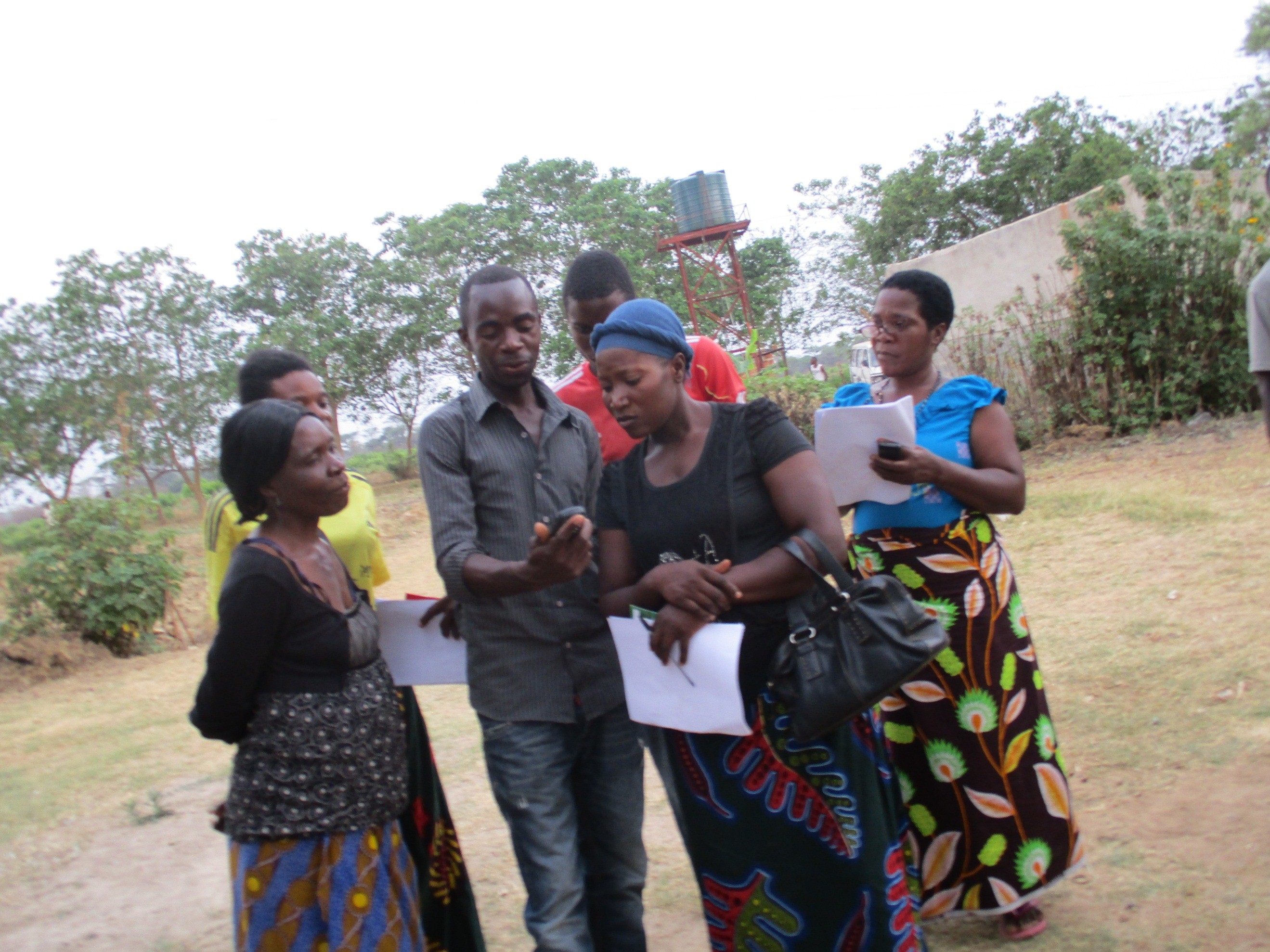
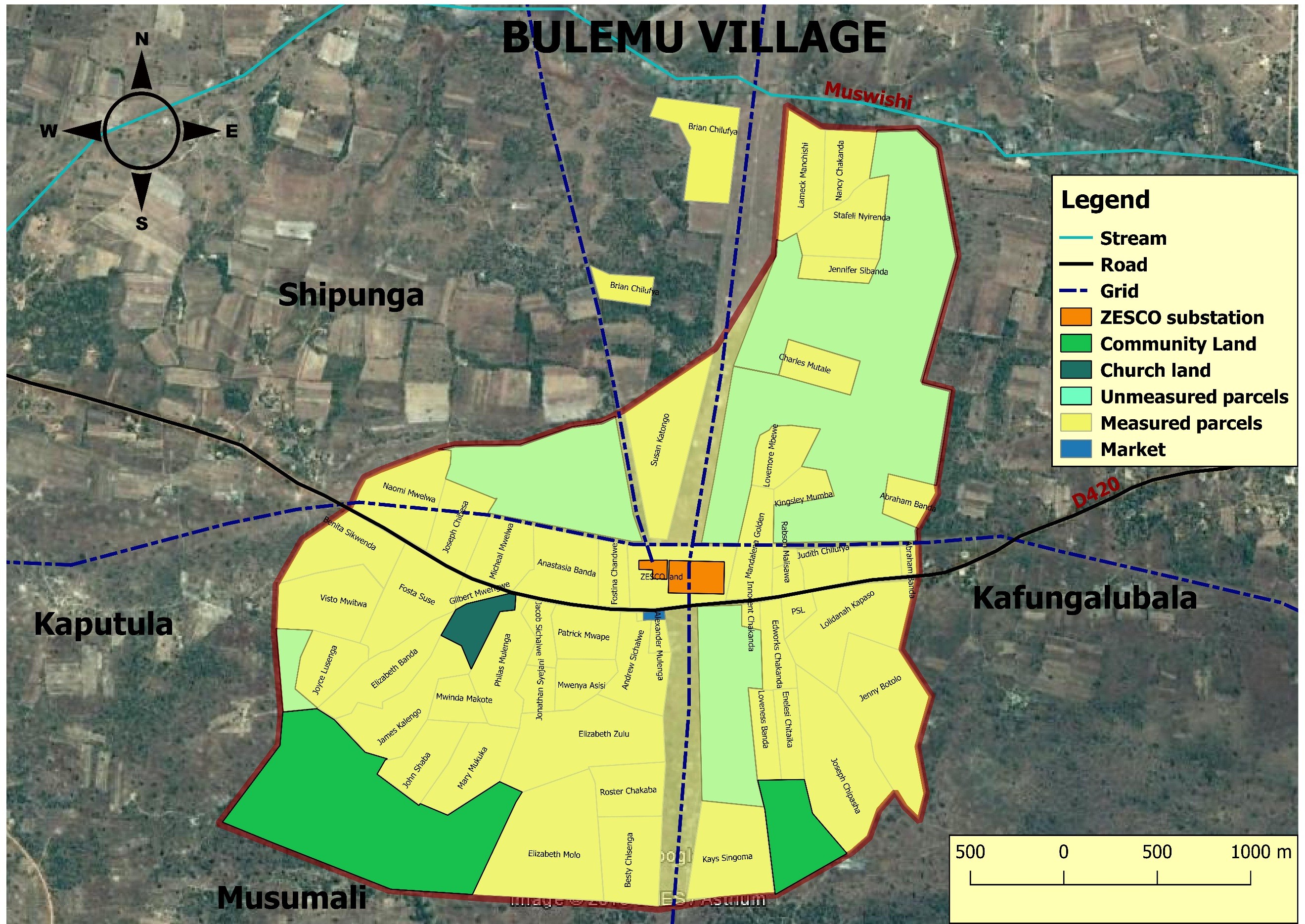
On the 21st of September 2018, His Royal Highness Chief Chamuka VI will issue a total of 490 certificates of customary land ownership to his subjects towards improving tenure security on customary lands. This move follows yet another issuance of customary certificates to forty (40) residents of Bulemu village (within Chamuka Chiefdom), in October,2016. Chamuka chiefdom is located in Chisamba District, Central Zambia, and sits between two rapidly growing urban areas; Kabwe in the north and Lusaka in the south. It comprises 207 villages spanning a spatial extent of approximately 300,000 hectares. So far, eleven (11) villages have been enumerated and mapped using the Social Tenure Domain Model (STDM), a pro-poor, gender responsive, participatory and affordable land information system for capturing person/s to land relationships developed by the Global Land Tool Network/UN-Habitat. STDM supports all forms of land rights and claims, (formal, intermediate and non-formal), cognizant of the land rights continuum.
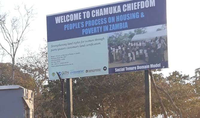
The project’s success is owed to a vibrant and effective partnership between the GLTN/UN-Habitat and Partners in Zambia who include the Government of Zambia, People’s Process on Housing and Poverty in Zambia (PPHPZ) and its grassroots alliance partner; Zambia Homeless and Poor People’s Federation (ZHPPF), and affiliated to Shack Dwellers International. Also, His Royal Highness leadership and support to this initiative has been very pivotal to the success of this project rights from the initial stages. Important to note is that this undertaking is an off-shoot of a similar project in Mungule chiefdom, Chibombo District in the periphery of Lusaka which commenced in 2015, spearheaded by Huairou Commission and local partners in Zambia.
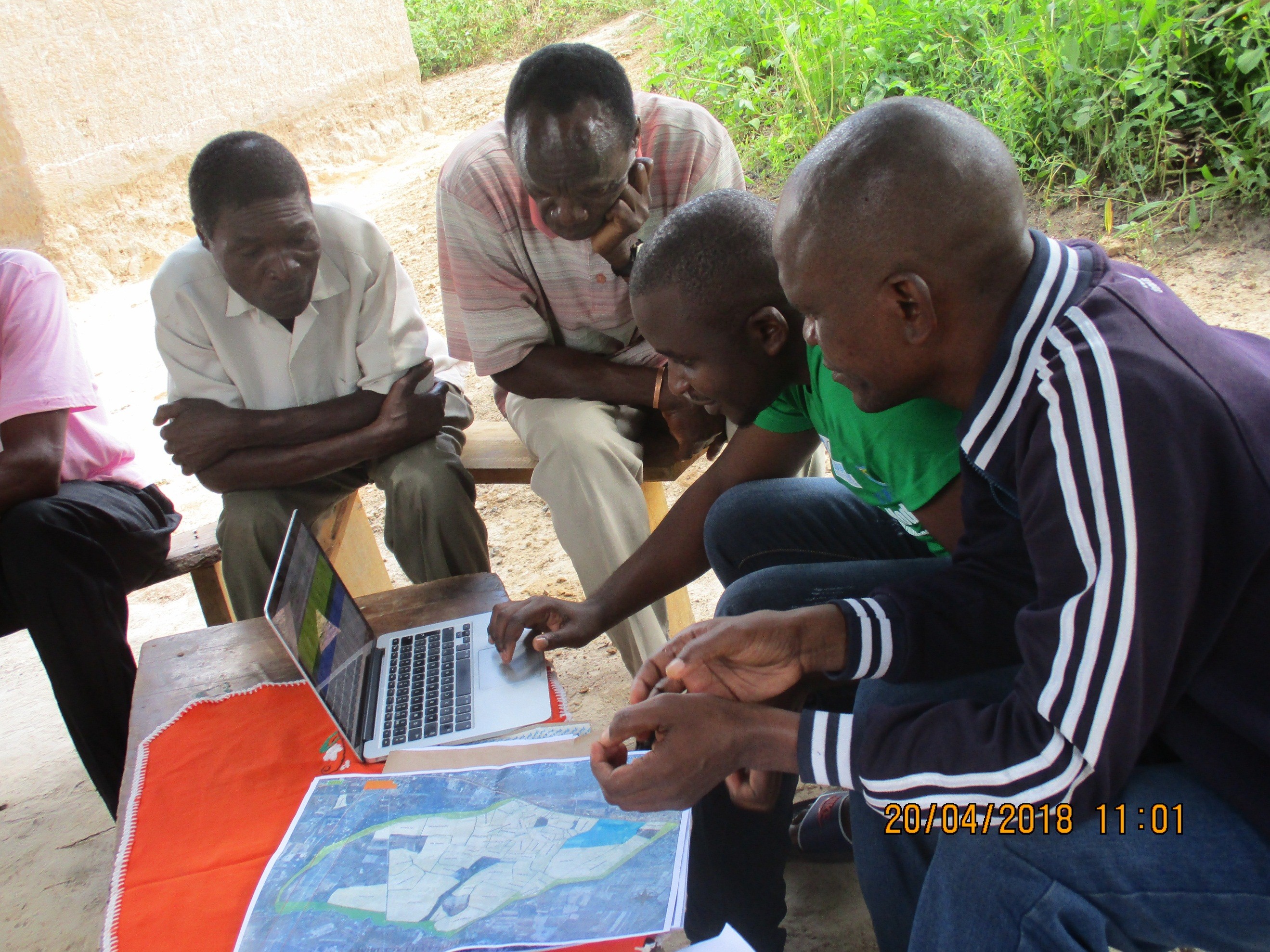
Chief Chamuka lauds the process for having contributed to a reduction of land dispute cases while at the same time monitoring the allocation of land by headmen (indunas), and providing spatial and socio-economic data for future infrastructural and services planning. Most of Zambia’s rural landmass is managed by traditional authorities through an informal and undocumented land administration system, while the statutory system is largely absent in rural areas. Customary land tenure is the least secure type of tenure because it is largely undocumented which makes inhabitants of such land susceptible to forced displacements, and frequent land disputes among villagers, head persons and even chiefs pertaining to boundaries.
THE ESSENTIAL FUNCTION OF THE GLTN IS THE DEVELOPMENT AND DISSEMINATION OF INCLUSIVE LAND TENURE APPROACHES THAT ARE PRACTICAL AND INNOVATIVE IMPLEMENTATION TOOLS, THAT “LEAVE NO ONE BEHIND” IN RURAL AND URBAN AREAS.
This initiative sets a good precedent of communities having their de-facto claim to land recognized and with this securing their future and that of their children. The projects’ process has also helped reduce internal conflicts on land ownership boundaries through the availability of land maps validated by the communities. Lessons and experiences from this project are also feeding into the ongoing land policy process in Zambia to inform on approaches that can be used for customary land administration and on improving coverage of land records. We shall keep you posted with the project developments as they happen. For more information on this and other GLTN projects, please visit the GLTN website at www.gltn.net
No Comments