09 Oct 2017 Incorporating GIS into M&E; IFAD projects
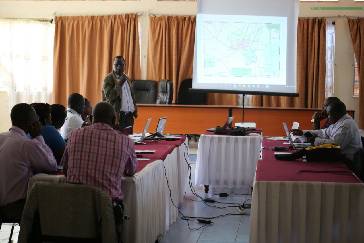
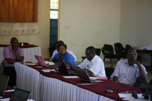
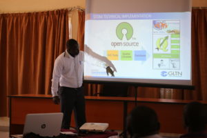
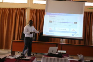
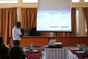
The STDM activities in the IFAD supported Upper Tana Natural Resources Management Project (UTaNRMP) in Embu involve the strengthening of the Monitoring and Evaluation (M&E) system for the project using the STDM. Recently, between the 6th -7th of October. 2017, a demo customized to the project’s work activities was tested by the STDM technical team and project staff at Upper Tana. UTaNRMP plans to tailor the STDM tool and the STDM generated database to capture the most relevant data in line with M and E template at UTaNRMP.
Last year in August, 12 officers at UTaNRMP were trained on the STDM in Embu, where the project is situated, for the purposes of building their capacity on GIS data formatting, data collection techniques, processing using GIS software; QGIS/ArcGIS and good cartographic techniques (map production techniques). The officers were also trained on how to apply GIS in M & E. The training paid special attention to ensure that the data collection methodology is compatible with the STDM so that it can be useful in building the M&E system for the project.
These activities fall within the ‘Land and Natural Resources Tenure Security Learning Initiative for East and Southern Africa (TSLI-ESA) project, a collaboration of the GLTN and IFAD. For more information, please visit the GLTN website at gltn.net
Photos show the latest project activities (6th and 7th. October. 2017


No Comments