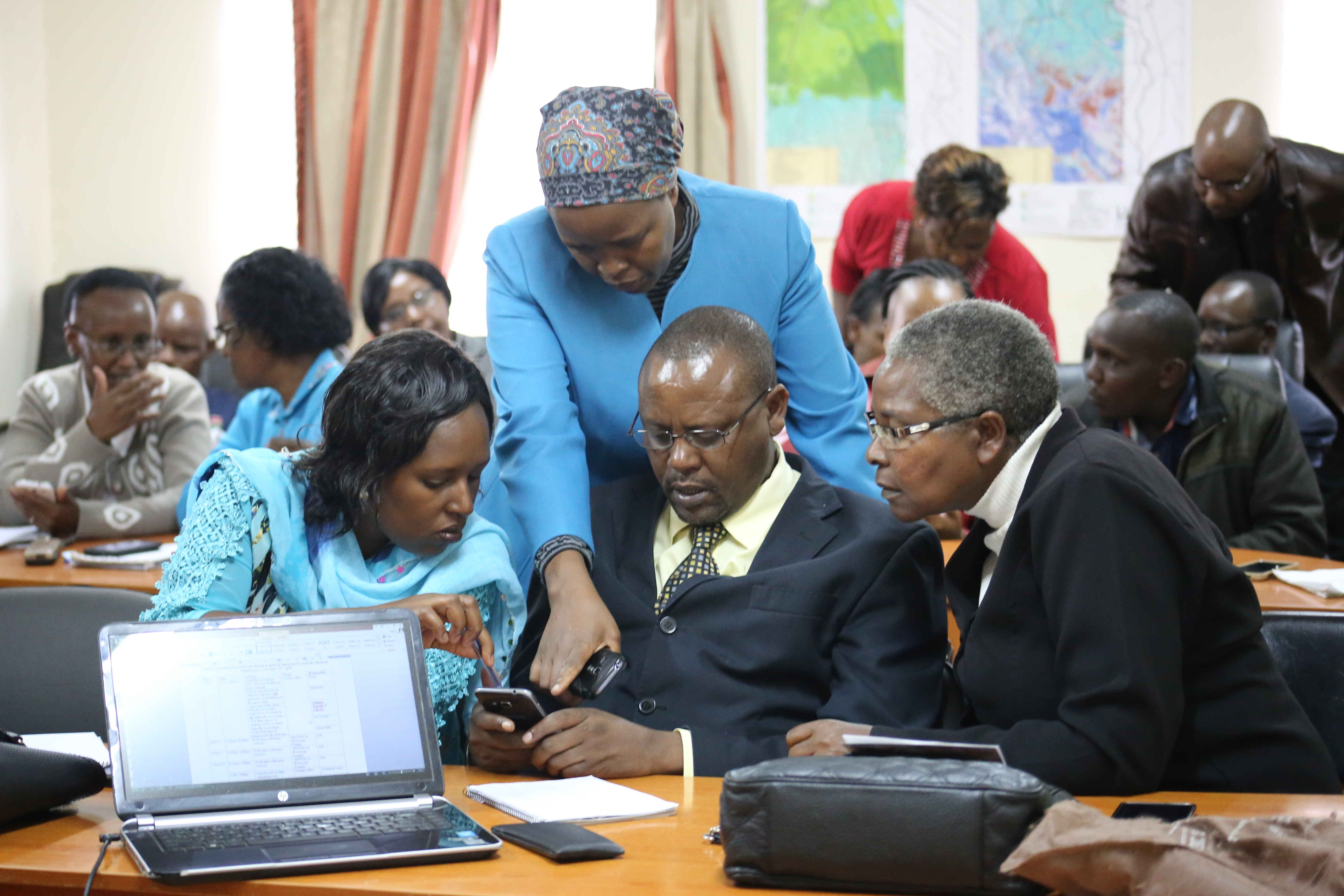
09 Nov 2017 Monitoring Land Use and Tenure using STDM; Kirinyaga County
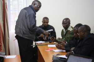
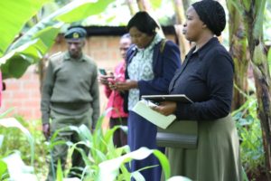
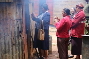
Currently, GLTN in partnership with the Upper Tana Natural Resource Management Project is rolling out the use of smart-phone technology to collect data in Kirinyaga County with an aim of establishing a geo-referenced monitoring and evaluation system for the project to incorporate the monitoring land use and tenure in the project.
The IFAD supported UTaNRM project has implemented various interventions to arrest deforestation, institute sustainable livelihoods, including monitoring of the land use and project interventions within the Upper Tana watershed. However, tracking of these interventions has proven a challenge as data is collected, analysed and presented in different systems. With support of the GLTN under TSLI-ESA, IFAD/UTaNRMP is piloting the integration of GeoDK/STDM into their M&E System to allow for eased data collection in the field using smart phones and importation into the STDM software for analysis and production of the documents such as STDM certificates of project completion for community interventions funded under the project.
The geo database to be set up on all M and E activities will include several variables such as their location, membership, type of activities, funding, achieved targets among others. In addition, sharing of the database online with other officers and government departments at county level will be made possible and faster.

No Comments