29 Jun 2017 STDM application in Mwea
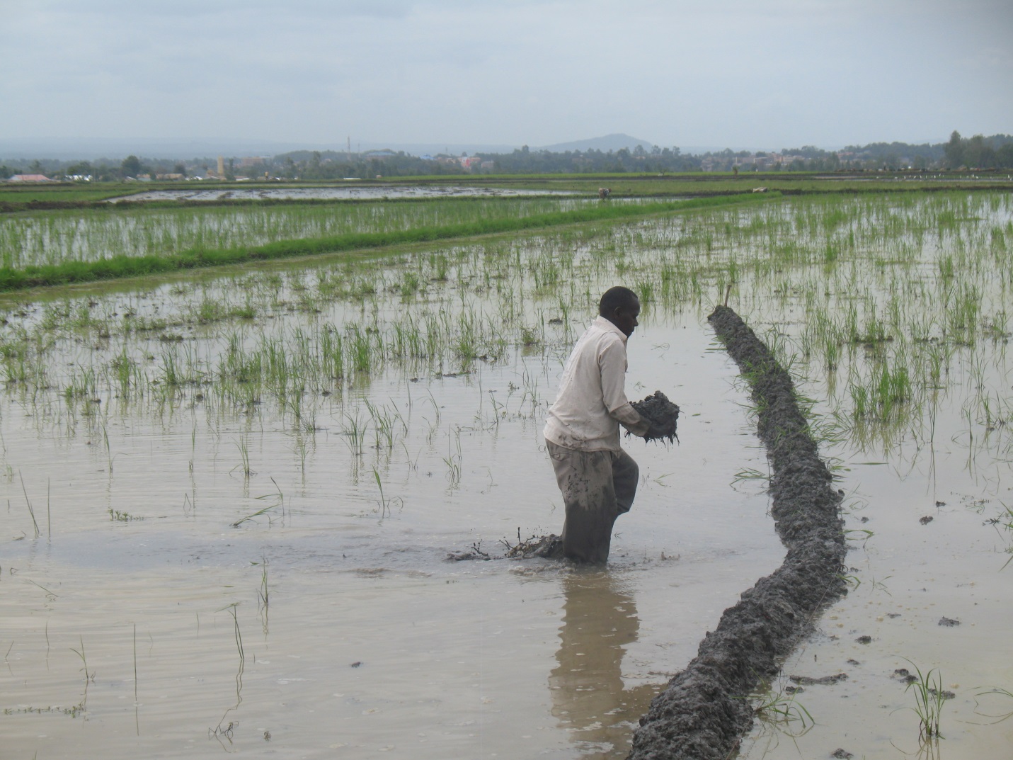
Since the installation of the improved digitized Land Information Management System (LIMS) based on the Social Domain Tenure Model (STDM) in the Mwea Irrigation Scheme (MIS)-December 2016, the Mwea Irrigation Water Users Association (IWUA) has employed its use to map rice paddies, record farmer information and update the land database within the Ndekia III irrigated area. The association is also using the information to issue the MIS-IWUA certificates to the rice out-grower blocks within the scheme as a formal recognition to belonging to the MIS. Kenya has experienced depressed rainfall riding on the back of an already pronounced year-long drought in 2016. This has in turn affected the much needed water for irrigation purposes at the scheme. The use of the STDM as a LIMS has thus facilitated the verification of actual acreage of the farmers’ land holdings for purposes of improving efficient conveyance of this limited resource in the rice paddies. The National Irrigation Board (NIB) plans to use the now accurate and reliable data for charging operation and maintenance fees for the water supplied. Currently, the irrigated area of Ndekia III is 540 acres.
Photos show work at the rice paddies in Mwea and a sample certificate. Please also read the full article at the GLTN website at gltn.net

No Comments