
05 Sep 2017 Training community enumerators for data collection in Bomet, Kembu location using the STDM
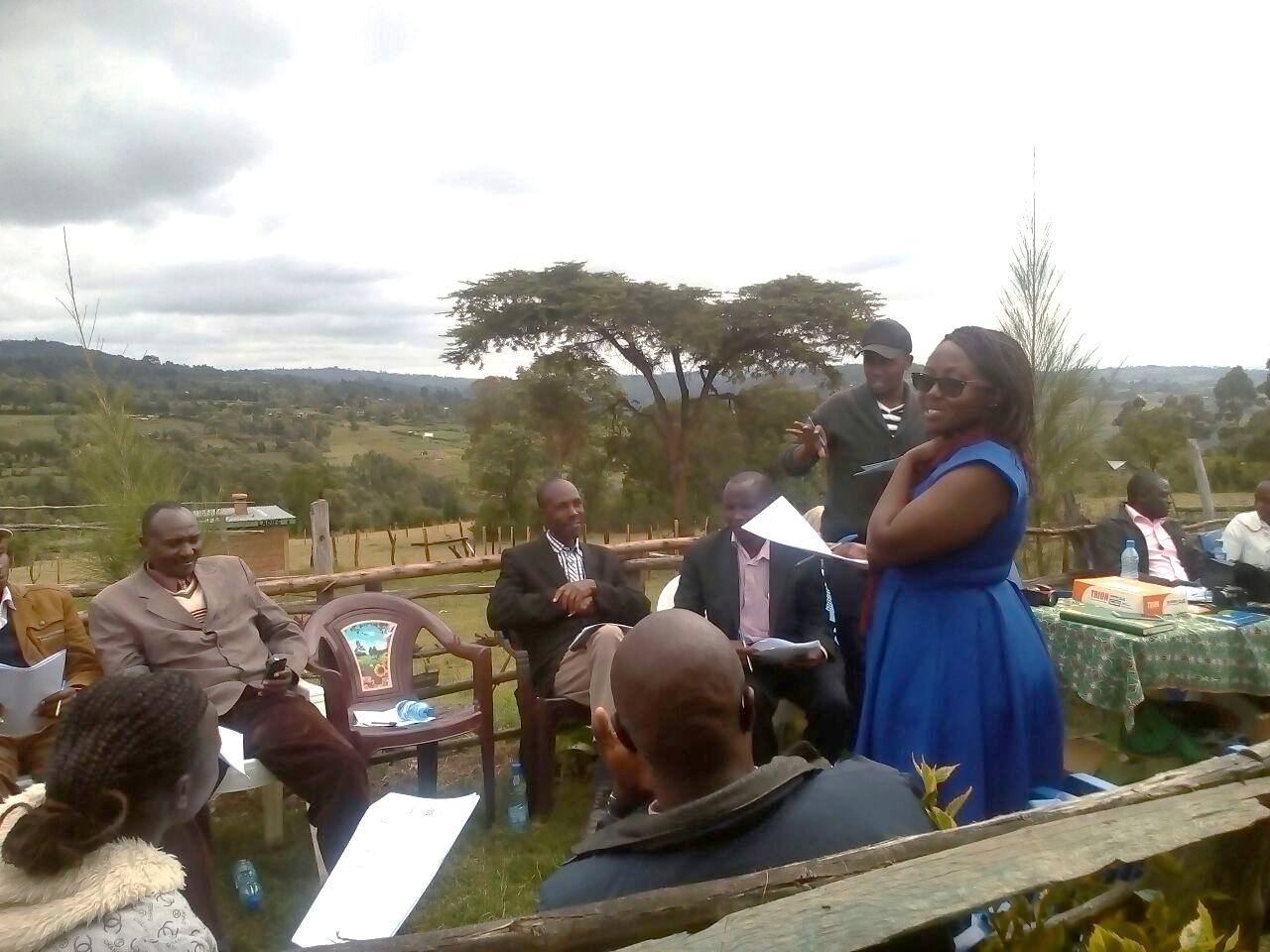
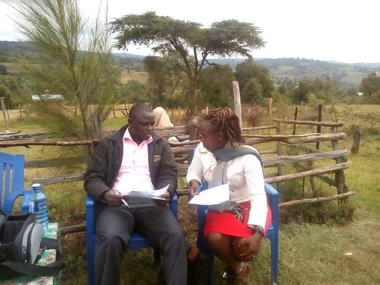
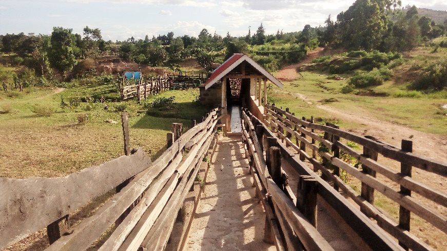
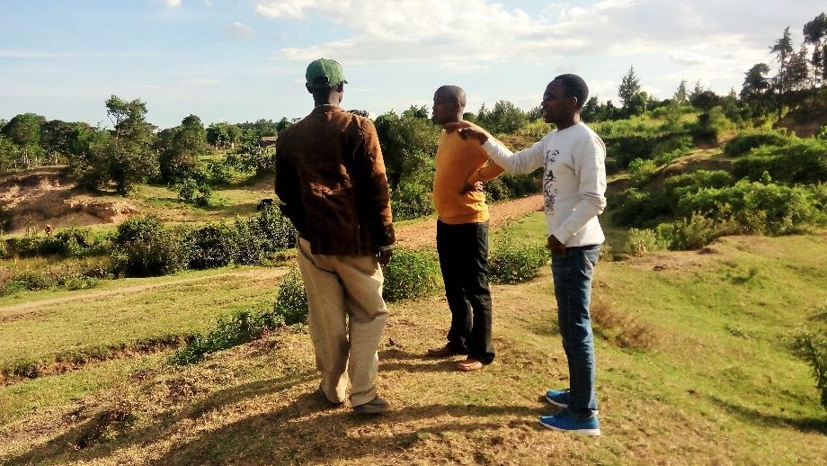
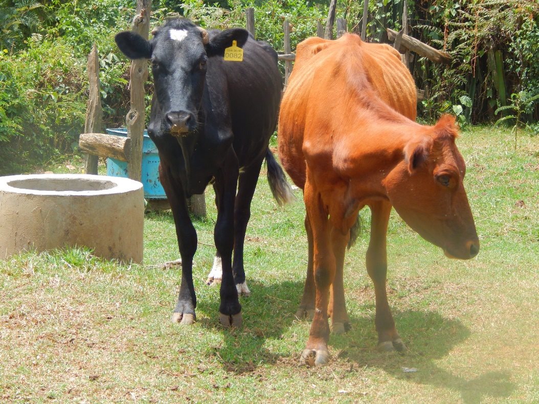
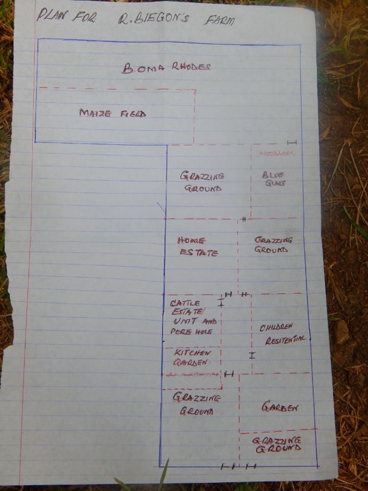
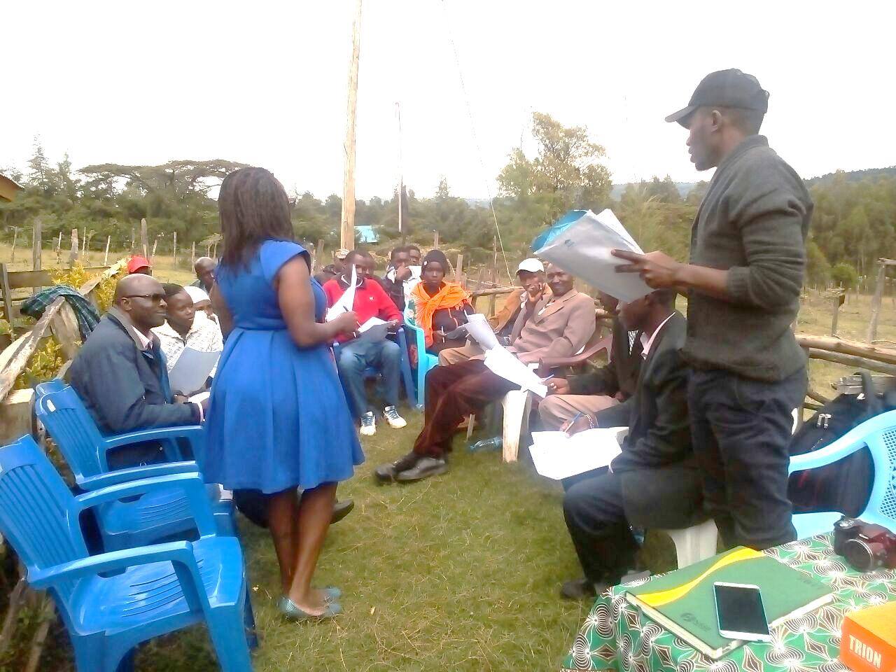
This week, the Land and GLTN Unit is training community enumerators for data collection in Bomet, Kembu location using the STDM. The trained persons are smallholder dairy farmers who will use the acquired knowledge and skills to geo-spatially enumerate and map key communal natural resources in their environs to establish how these communal resources interlink with tenure security rights. The communal resources to be mapped include; cattle corridors (both in private and public land), communal grazing land, salt licks, water points, cattle dips among others.
These activities will cover Dairy Commercialization Areas (DCA), 2 &3 of the Smallholder Dairy Commercialization Programme (SDCP). Sugurmerka (DCA 1) was geo-spatially enumerated last year in which 43 key communal natural resources were captured. These efforts are being undertaken to expand the STDM–based land and natural resources’ information database of all the Dairy Commercialization Areas (DCA) 1, 2 and 3 in SDCP. The goal is to operationalize the database for sustainable common resources management. The database will also be useful in producing an inventory that will determine the number of resources against the animals and as such look into the carrying capacity of the land; how many animals can be efficiently and effectively supported within the resource envelope in Bomet County?
This work is a joint effort between UN Habitat, the Land and GLTN Unit and RECONCILE which falls under the ‘Land and Natural Resources Tenure Security Learning Initiative for East and Southern Africa (TSLI-ESA)’ project, a collaboration of the GLTN and IFAD to implement GLTN tools, build capacity of the actors engaged while improving knowledge management strategies and approaches towards a pro-poor and gender sensitive land and natural resources tenure rights.
RECONCILE is working with IFAD supported projects, programs and investments; the SDCP, Upper Tana Natural Resource Management Project (UTaNRMP) and the Mwea Irrigation Scheme (MIS).
-
- Training community enumerators for data collection in Bomet, Kembu location using the STDM
No Comments